
Sara Magness
GIS professional building interactive maps and spatial analysis projects. Combining a background in government consulting and information systems with a passion for making geographic data meaningful.
Featured Projects
A growing collection of GIS and spatial analysis work.
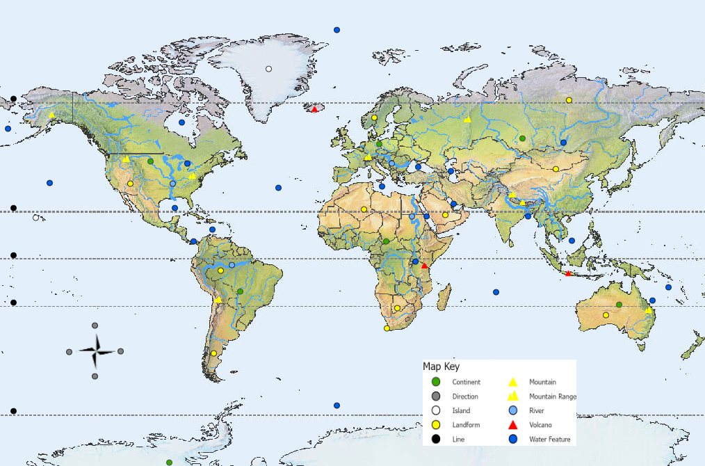
Interactive Geography Quiz
World Pin Map
An ArcGIS-powered click-the-dot quiz covering world geography — countries, capitals, landforms, and more. A modern GIS adaptation of my original educational map business.
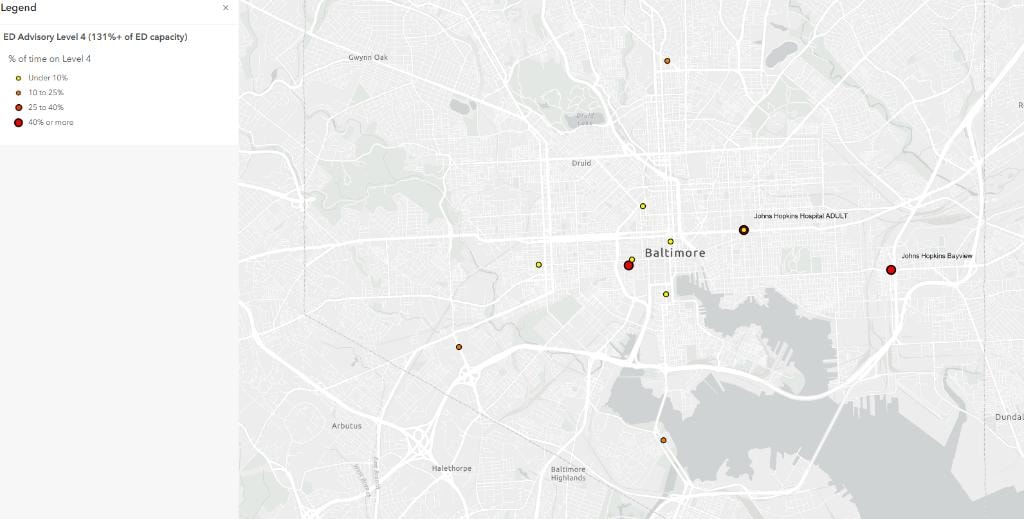
Spatial Analysis & Mapping
Maryland Emergency Department Crowding
A GIS map of emergency department locations across Maryland, exploring spatial distribution and accessibility. Built as part of my return to active GIS work.
About Sara
I hold a master's degree in Information Systems from Indiana University's Kelley School of Business and have a background in government consulting. I founded Pin It Maps, LLC in 2015 — creating educational geography pin maps sold nationwide — and am now returning to GIS, developing new projects, and seeking opportunities in spatial analysis and related analytical work.
Read My Story